Efkon India

NOIDA ISTMS

Noida (New Okhla Industrial Development Authority) is most commonly known as the satellite city of Delhi and is a part of the National Capital Region of India. It is one of the best-planned cities in India, famous for its modern infrastructure and top amenities. Also ranked as the “Best City in Uttar Pradesh” and considered India’s greenest city with nearly 50% green cover, Noida boasts the highest green cover of any city in the country.
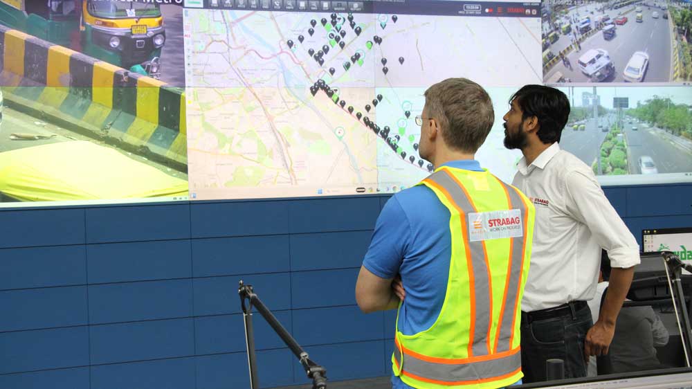
Despite its well-planned infrastructure, Noida faces significant challenges related to road safety, air pollution, and traffic congestion. The city has seen a rise in road accidents due to speeding, unauthorized parking, and vehicles traveling in the wrong direction. Additionally, the growing number of vehicles has exacerbated traffic congestion and air pollution, making it imperative to implement effective traffic management systems.

Objectives of the Project

Noida Intelligent Traffic Management System (ITMS)

EFKON India has successfully implemented the Intelligent Traffic Management Systems at NOIDA – Greater NOIDA Expressway. This expressway was built to improve the connectivity between the upcoming important industrial towns of Noida and Greater Noida in the national capital of India.
More than 70,000 vehicles are passing through this expressway daily, with 80% traffic consisting of four-wheelers. Since its inception in 2002, Noida-Greater Noida Expressway has been the site of hundreds of road accidents caused due to speeding, unauthorized parked vehicle, and vehicles travelling in the reverse direction. Moreover, there are initiatives to make this expressway a safe zone for commuters during the night.
Between the stretch of Maha Maya Flyover and Pari Chowk (26.6 kms), EFKON India installed the following ITMS components:
177
Fixed and 31 Pan-tilt Zoon (PTZ) cameras for surveillance.
15
Video incident detection cameras
24
Emergency Call Boxes (ECBs) for direct communication with the traffic management control board
24
Automatic Number Plate Recognition (ANPR) cameras
13
Variable message signs at entry and exit points.
1
Meteorological Systems (MET) placed at the start of the stretch near Maha Maya Flyover
60
Length of OFC in kms
219
Locations for Network/LAN/WAN
1
Integrated Command and Control Center (ICCC)
1
Data Centre
The expressway is under surveillance 24/7, which helps curb crime on the expressway. Another essential feature of this system is a mobile application that gives road users live information about any incidents on the highway along with the nearest amenities such as hospitals, petrol pumps, police stations, etc. There is a facility of a hot dial on the mobile application to connect to the control room directly.
The project was awarded as the “Best Intelligent Transport Systems’ by the Ministry of Urban Development (MoUD)

Benefits to the People

Improved Travel Time and Reduced Congestion
Enhanced Road Safety
Promoting Healthier Environment
Increased and Effective Security

Benefits to the Government

Efficient Traffic Management
Enforcement and issuing e-challan for violators on a 24/7 basis
Environmental sensors monitoring real-time pollution levels
Safety of all road users by monitoring traffic activities
Smooth toll collection system
Display important information to officials, road-users, etc